DE
FR
IT
EN
Directory
Weather
Map / Route
Timetable
Leisure
TV guide
Cinema
Web search
Apps
More
Personal Data »
Login:
Register
Password forgotten
or
Log in with local.ch
Log in with Apple
Log in with Facebook
Log in with Google
Log in with LinkedIn
Please note that our new
privacy statement
as well as the revised
terms and conditions of use
apply.
Leisure
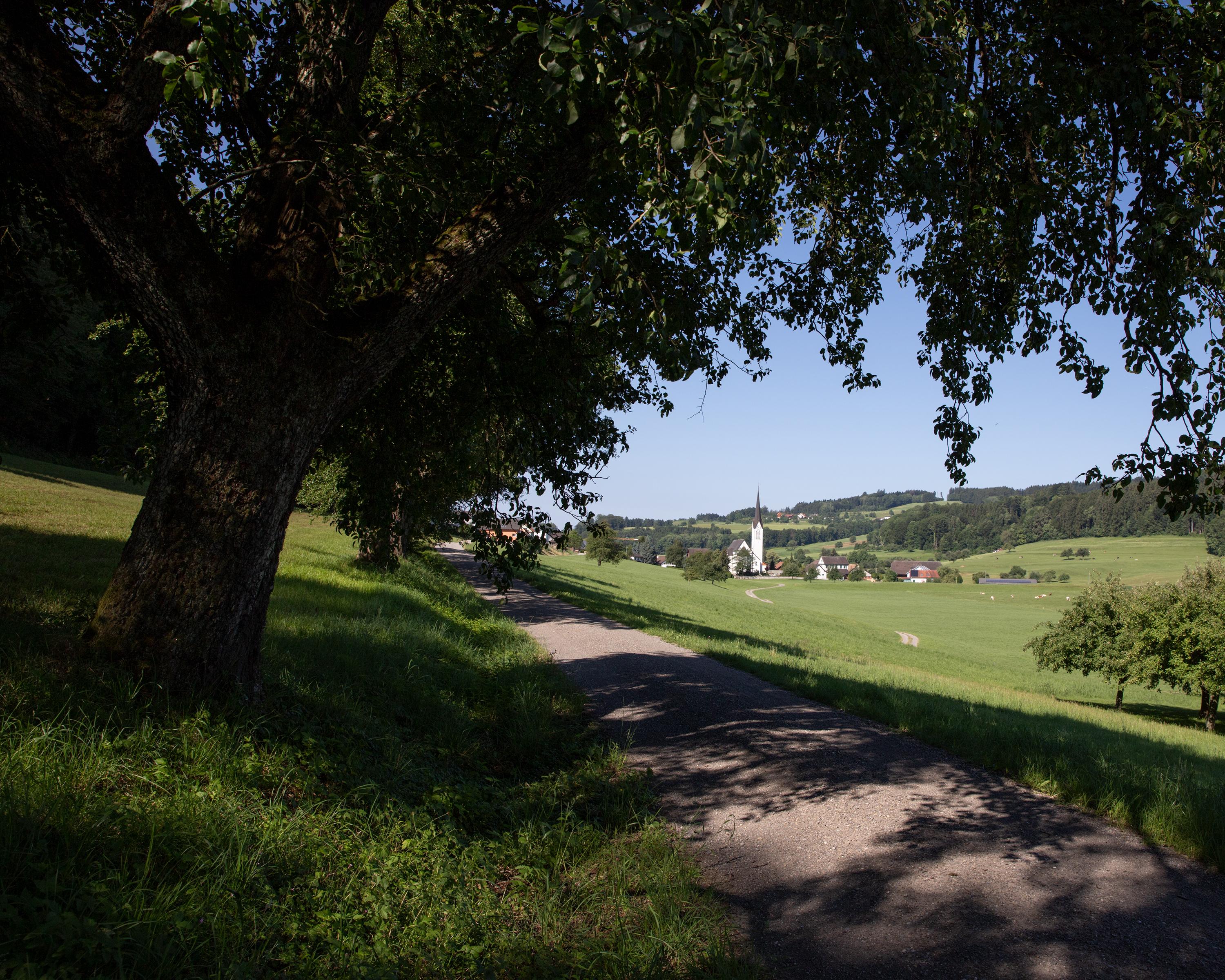
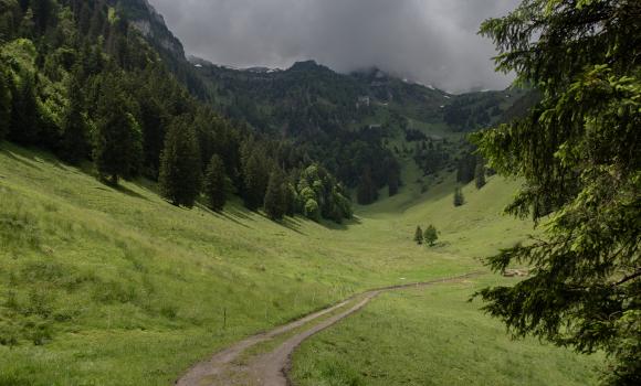
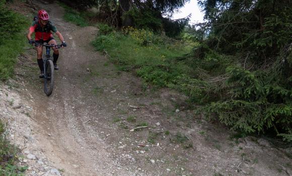
Biking in Lake Constance
Thurgauer Panorama-Route
Regional route No. 47, Stage 0: Romanshorn – Wil
Description
Regional route
No. 47
Length
35 km
Ascent • Descent
↑ 580 m • ↓ 400 m
Lowest point • Highest point
395 m • 625 m
Fitness level
medium
From Romanshorn the route climbs to the imposing moated castle of Hagenwil, and on over green hills. Then down and over the Thur, a tamed river. Soon visible, the old medieval town of Wil, centre of the Fürstenland region.
Comments on this information?
We welcome your feedback!
Presented by
Route
Height profile
Weather:
More...
Further recommendations
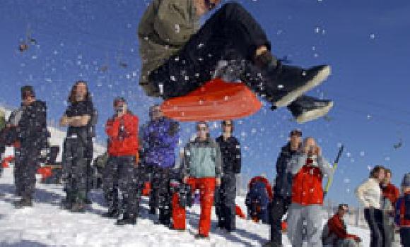
Sledging
Zipflbob
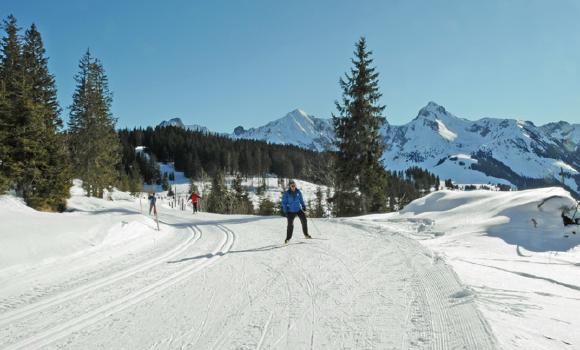
Cross country
Nature park and cross-country paradise
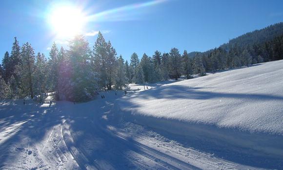
Cross country
Obwaldnerland cross-country Eldorado
Sledging
A day full of energy
Cross country
The spellbinding Vaud Jura plateau
Hike
Giro della Valle del Salto
Sledging
A toboggan dream come true!
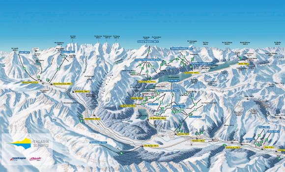
Winter hiking
S-chanf/Engadin
Snowshoeing
Show-shoeing in the Biosfera Val Müstair
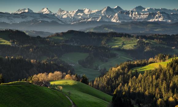
Winter hiking
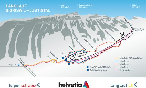
Sigriswil - Justistal
Snowshoeing
Rellerli – the sunshine mountain
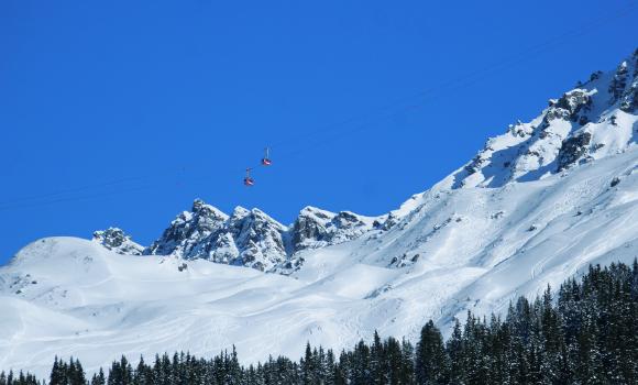
Skiing or snowboarding
Long Rothorn Route
Hike
Alpine Panorama Trail, Stage 15/29
Winter hiking
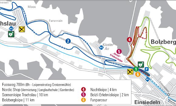
Einsiedeln - Bolzberg-Trach
Hike
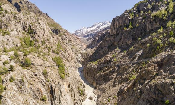
Aletsch Panoramaweg
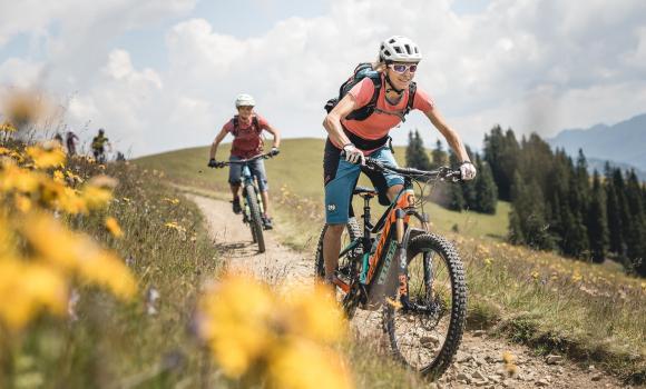
Mountain bike
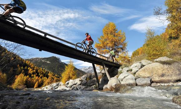
Alpine Bike
Skiing or snowboarding
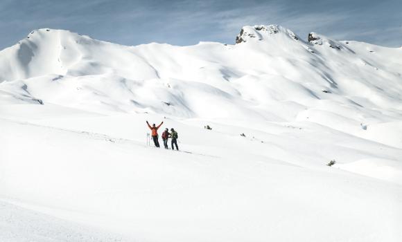
Guided adventure in a freeride paradise
Skiing or snowboarding
Les Mosses Snow Park
Mountain bike
Wildmannli Bike, Stage 1/3
Mountain bike
Plaids Bike
Comments about this activity or place?
Incorrect information
Missing information
Another topic
Thank you for your feedback!
Close