DE
FR
IT
EN
Directory
Weather
Map / Route
Timetable
Leisure
TV guide
Cinema
Web search
Apps
More
Personal Data »
Login:
Register
Password forgotten
or
Log in with local.ch
Log in with Apple
Log in with Facebook
Log in with Google
Log in with LinkedIn
Please note that our new
privacy statement
as well as the revised
terms and conditions of use
apply.
Leisure
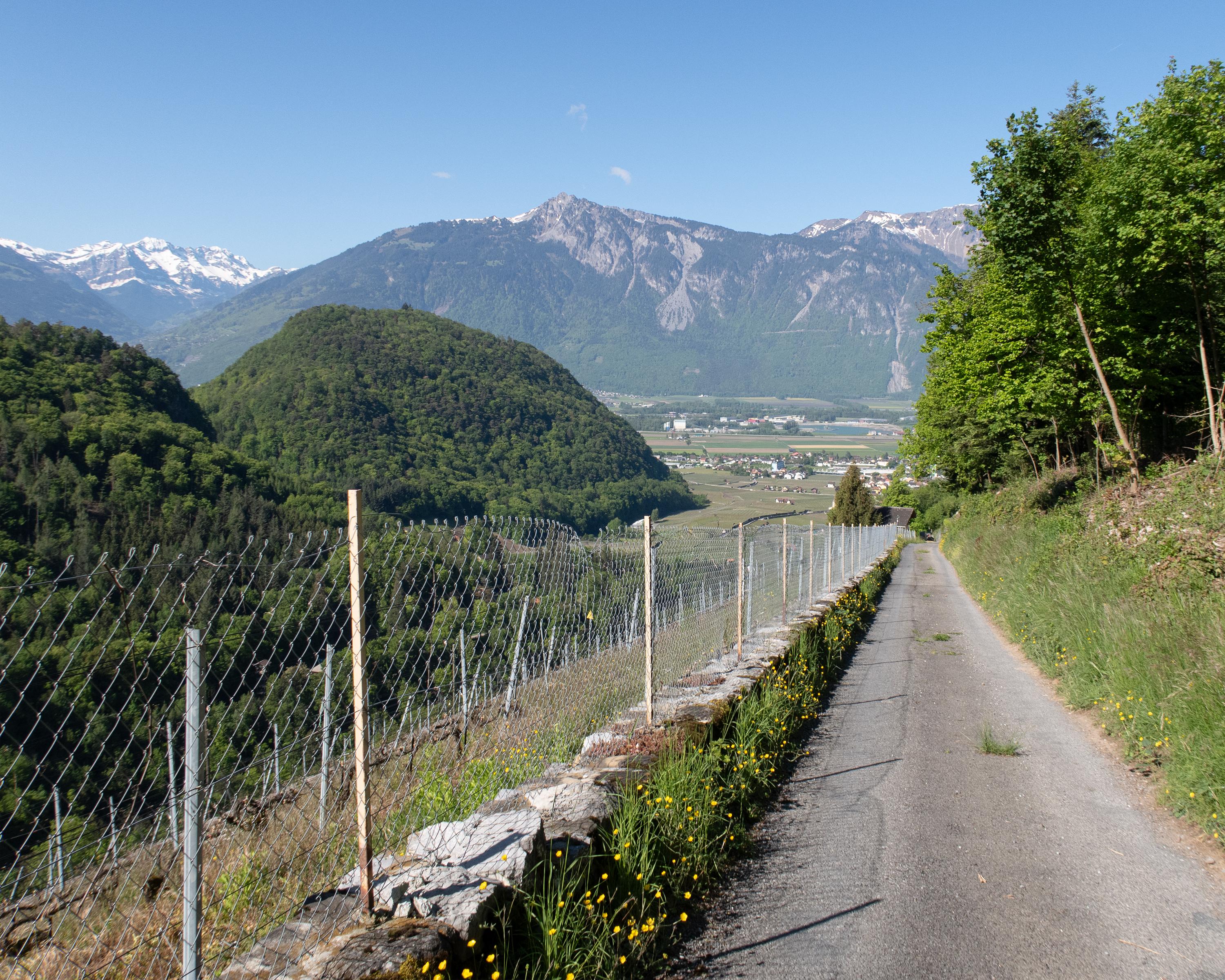
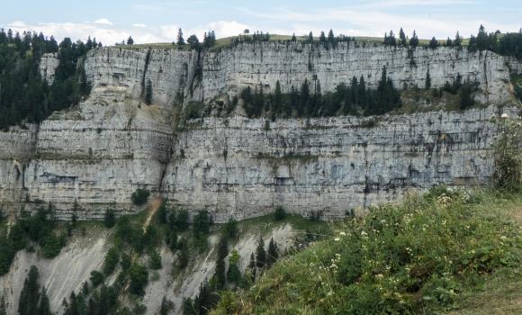
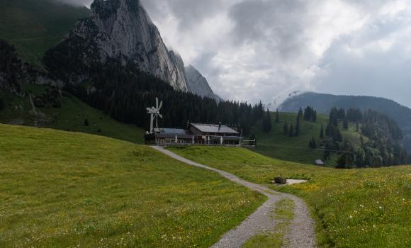
Hike in Vaud
Tour des Alpes Vaudoises
Regional route No. 46, Aigle – Aigle
Description
Regional route
No. 46 (Aigle – Aigle)
Length
130 km
Ascent • Descent
↑ 7400 m • ↓ 7400 m
Lowest point • Highest point
404 m • 2007 m
Grade
medium
Fitness level
difficult
Regional route No. 46: Tour des Alpes Vaudoises
Stages
1. Aigle – Leysin
2. Leysin – Les Mosses
3. Les Mosses – Château-d’Oex
4. Château-d'Oex – L'Etivaz
5. L’Etivaz – Les Diablerets
6. Les Diablerets – Villars-sur-Ollon
7. Villars-sur-Ollon – Gryon
8. Gryon – Aigle
From vineyards through Alpine pastures to ancient mountain villages, alp dairies with tasty raw-milk cheese, lonely mountain lakes, sweeping views and deep gorges. The 8-day round tour combines the most beautiful highlights of the Canton Vaud Alps.
Comments on this information?
We welcome your feedback!
Presented by
Route
Height profile
Weather:
More...
Further recommendations
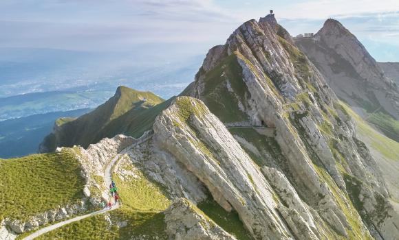
Alpine hike
Hiking on Mount Pilatus
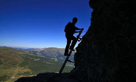
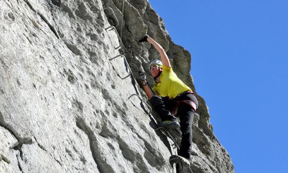
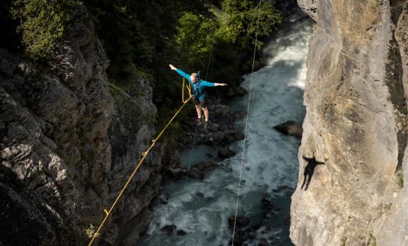
Climb
Eiger-Rotstock - via ferrata with a feel of the North Face
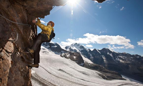
Climb
Up and down: The Fixed Rope Trail on Piz Trovat
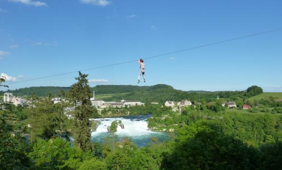
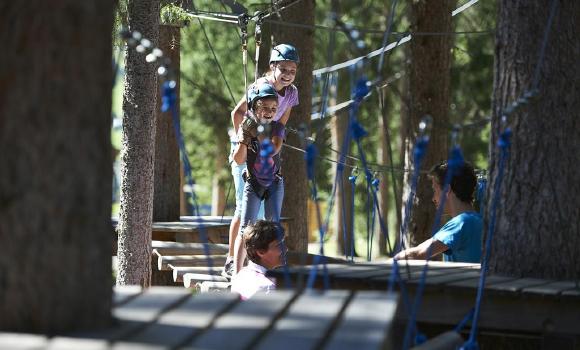
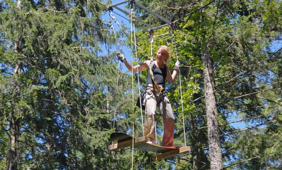
Rope park
Adventure Park at the Rhine Falls
Climb
Evolène - A sports via ferrata
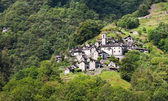
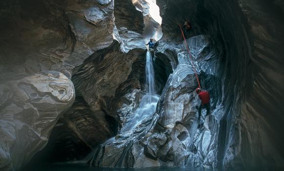
Canyoning
Playful Val Corippo
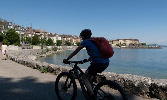
Mountain bike
Neuchâtel Bike, Stage 4/4
Rope park
Davos Färich Adventure Park
Mountain bike
Jura Bike, Stage 7/9
Mountain bike
Hörnli Bike, Stage 3/3
Alpine hike
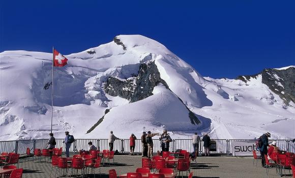
A 4,000m summit for all - Allalinhorn
Rope park
Fun and adventure in Balmberg
Canyoning
Massa Gorge
Canyoning
Grindelwald Glacial Gorge
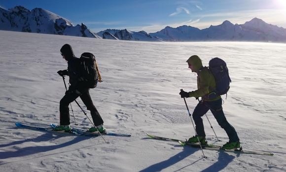
Alpine hike
Your first 4,000-m peak
Comments about this activity or place?
Incorrect information
Missing information
Another topic
Thank you for your feedback!
Close