DE
FR
IT
EN
Directory
Weather
Map / Route
Timetable
Leisure
TV guide
Cinema
Web search
Apps
More
Personal Data »
Login:
Register
Password forgotten
or
Log in with local.ch
Log in with Apple
Log in with Facebook
Log in with Google
Log in with LinkedIn
Please note that our new
privacy statement
as well as the revised
terms and conditions of use
apply.
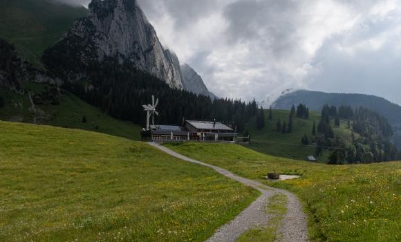
Leisure
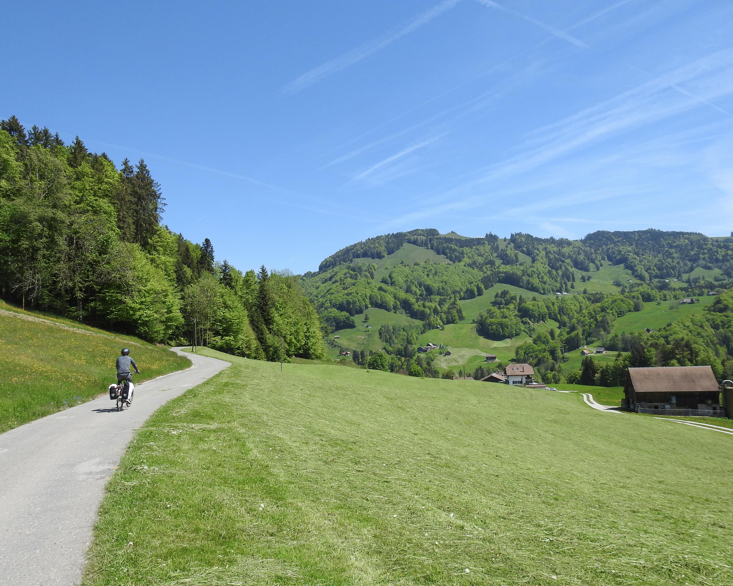
Biking in Region Schwyz
Ibergeregg–Sattelegg–Linth
Regional route No. 76, Schwyz – Uznach
Description
Regional route
No. 76 (Schwyz – Uznach)
Length
60 km
Ascent • Descent
↑ 1400 m • ↓ 1500 m
Lowest point • Highest point
406 m • 1407 m
Fitness level
difficult
Regional route No. 76: Ibergeregg–Sattelegg–Linth
Stages
1. Schwyz – Willerzell
2. Willerzell – Uznach
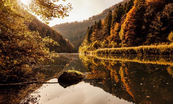
Steep and high, not for weak calves and faltering hearts, the Ibergeregg and Sattelegg are a treat for amateur bike racing buffs. In between, the charming Sihlsee lake is also easy on the eye for all others.
Comments on this information?
We welcome your feedback!
Presented by
Route
Height profile
Weather:
More...
Further recommendations
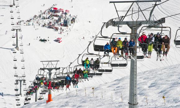
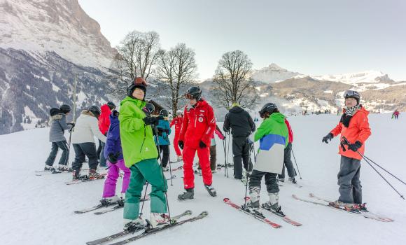
Skiing or snowboarding
Le Pas de Chavanette – The Swiss Wall
Hike
Trans Swiss Trail, Stage 16/32
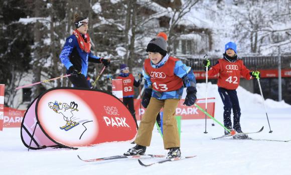
Cross country
Technique training in Davos Nordic Park
Hike
Jura Crest Trail, Stage 9/16
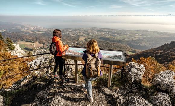
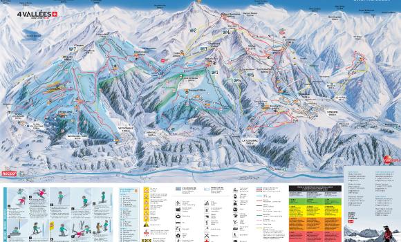
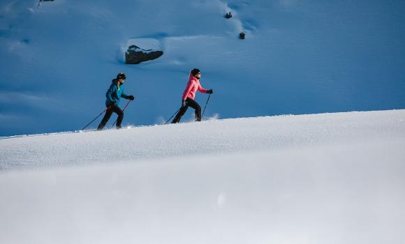
Winter hiking
Veysonnaz - 4 Vallées
Snowshoeing
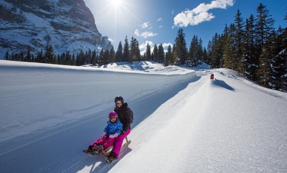
Up on snow-shoes – down by bob
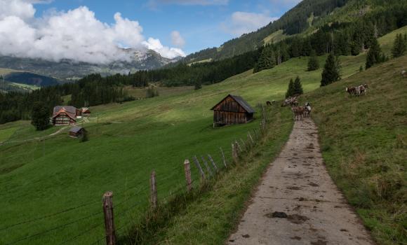
Mountain bike
Graubünden Bike, Stage 5/11
Hike
Au fil du Doubs, Stage 3/4
Cross country
Obwaldnerland cross-country Eldorado
Skiing or snowboarding
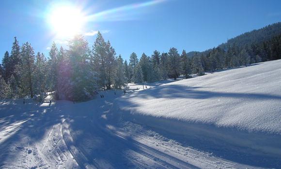
Interlaken - First ski experience - Half-day
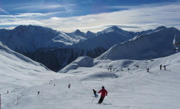
Skiing or snowboarding
Alp Bella Piste
Winter hiking
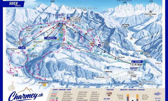
Charmey.ch
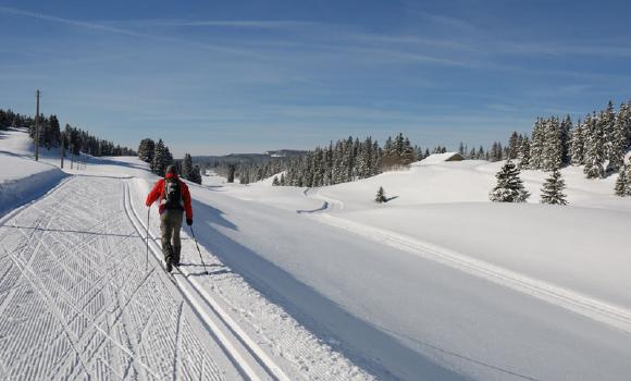
Cross country
The spellbinding Vaud Jura plateau
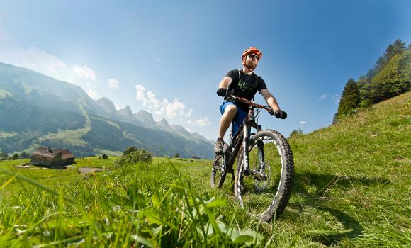
Mountain bike
Panorama Bike
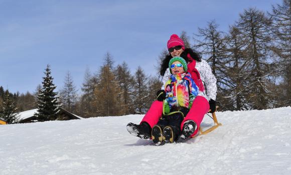
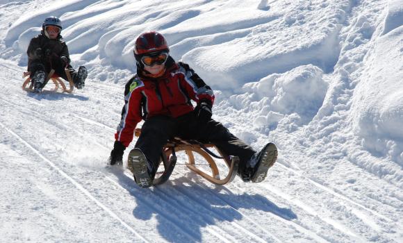
Sledging
«Hoppel Hase» Run
Sledging
Tobogganing at Wiriehorn
Mountain bike
Hörnli Bike, Stage 3/3
Snowshoeing
Snow-shoe hike with a view
Winter hiking
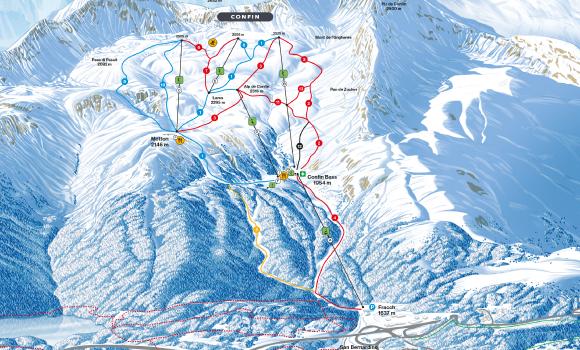
San Bernardino
Sledging
Tobogganing through magnificent mountain scenery
Comments about this activity or place?
Incorrect information
Missing information
Another topic
Thank you for your feedback!
Close