DE
FR
IT
EN
Directory
Weather
Map / Route
Timetable
Leisure
TV guide
Cinema
Web search
Apps
More
Personal Data »
Login:
Register
Password forgotten
or
Log in with local.ch
Log in with Apple
Log in with Facebook
Log in with Google
Log in with LinkedIn
Please note that our new
privacy statement
as well as the revised
terms and conditions of use
apply.
Leisure
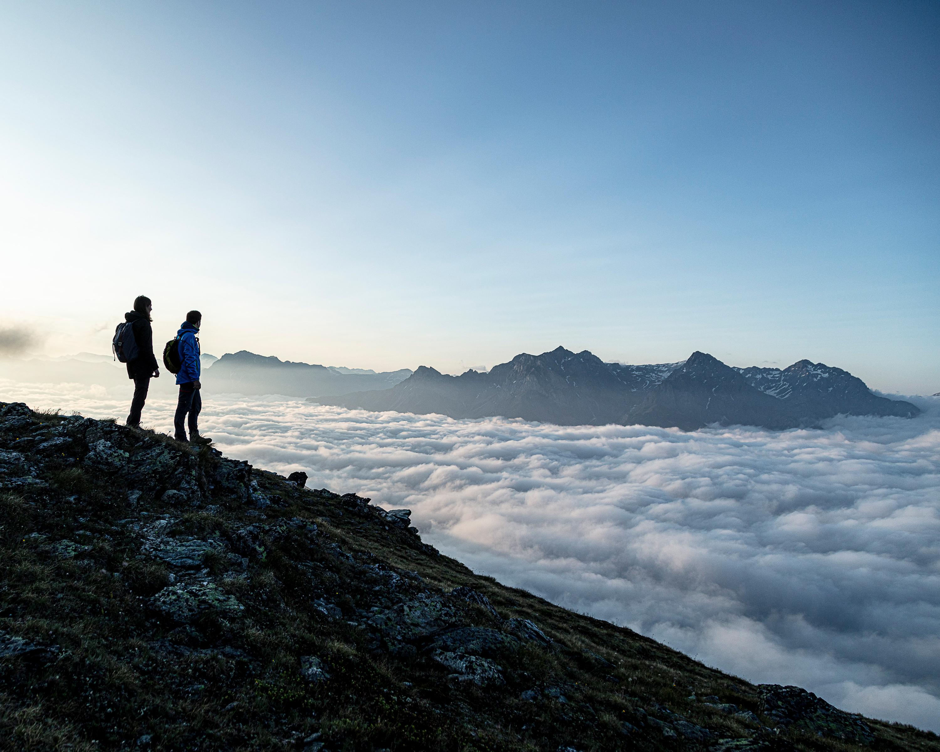
Hike in Engadin Samnaun Val Müstair
Senda Piz Clünas
Local route No. 660, Stage 0: Ftan, Prui – Ftan, Prui
Description
Local route
No. 660
Length
12 km
Ascent • Descent
↑ 880 m • ↓ 880 m
Lowest point • Highest point
2064 m • 2791 m
Hiking time
4 h 30 min
Grade
medium
Fitness level
medium
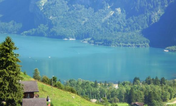
This summit tour along the southern edge of the Silvretta Range and over Piz Clünas offers an impressive view of the mountain panorama of Lower Engadine. An enchanting rest stop awaits you during the descent at Alp Laret.
Booking Information
E-mail:
[email protected]
Comments on this information?
We welcome your feedback!
Presented by
Route
Height profile
Weather:
More...
Gäste-Information Scuol
Stradun 403a, 7550 Scuol
Further recommendations
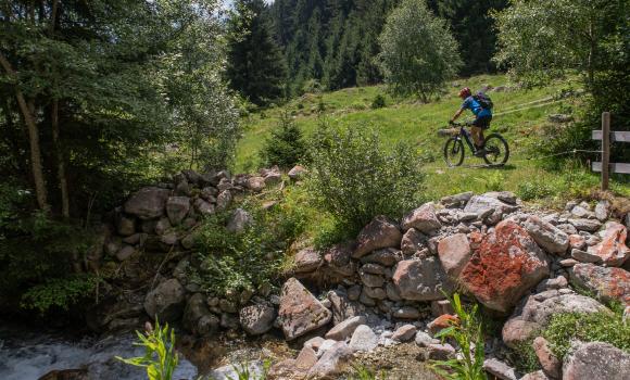
Mountain bike
Plaun Menisch Bike
Mountain bike
Neuchâtel Bike, Stage 1/4
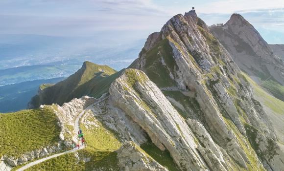
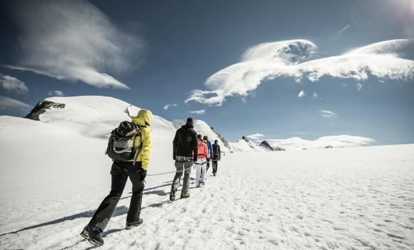
Alpine hike
Hiking on Mount Pilatus
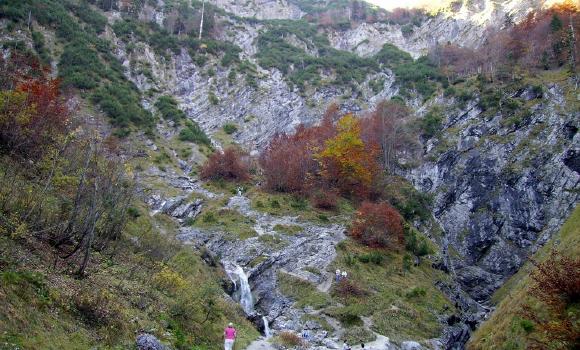
Canyoning
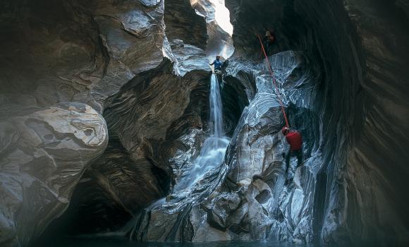
Canyoning in the Malvaglia Valley
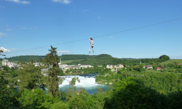
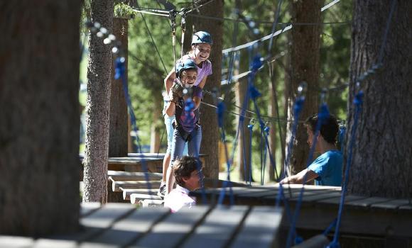
Rope park
Adventure Park at the Rhine Falls
Alpine hike
Hiking through the snow by torchlight
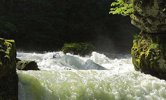
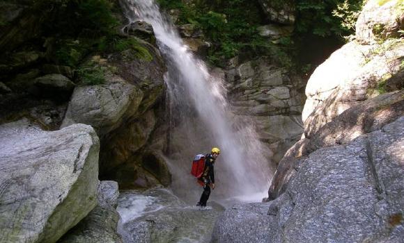
Canyoning
Little Known Natural Wonder
Alpine hike
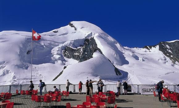
A 4,000m summit for all - Allalinhorn
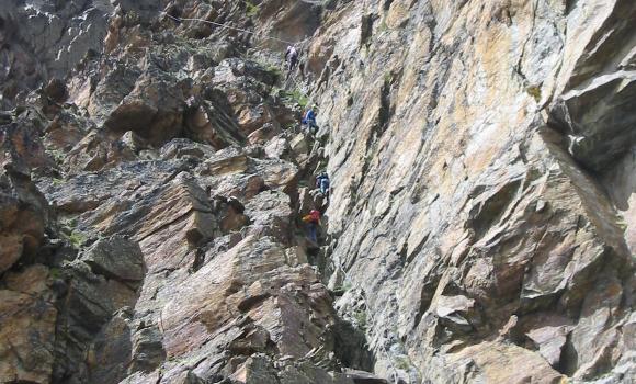
Climb
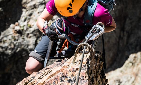
Via ferrata in the Saas valley
Via ferrata
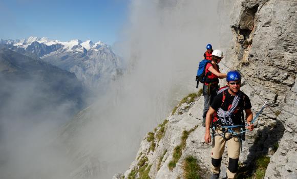
Tälli - the pioneering Swiss climb
Canyoning
Massa Gorge
Mountain bike
Längenegg Bike
Rope park
Davos Färich Adventure Park
Climb
Climbing the Breithorn
Climb
Jägihorn via ferrata - the sensation of the peaks, facing the giant mountains
Gäste-Information Scuol
Stradun 403a, 7550 Scuol
081 861 88 00
Comments about this activity or place?
Incorrect information
Missing information
Another topic
Thank you for your feedback!
Close