DE
FR
IT
EN
Directory
Weather
Map / Route
Timetable
Leisure
TV guide
Cinema
Web search
Apps
More
Personal Data »
Login:
Register
Password forgotten
or
Log in with local.ch
Log in with Apple
Log in with Facebook
Log in with Google
Log in with LinkedIn
Please note that our new
privacy statement
as well as the revised
terms and conditions of use
apply.
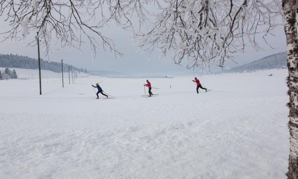
Leisure
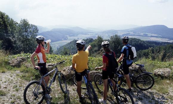
Biking in Aargau and Solothurn region
Luzerner Hinterland–Rigi
Regional route No. 38, Zofingen (Pfaffnau) – Brunnen
Description
Regional route
No. 38 (Zofingen (Pfaffnau) – Brunnen)
Length
100 km
Ascent • Descent
↑ 1450 m • ↓ 1550 m
Lowest point • Highest point
430 m • 735 m
Fitness level
medium
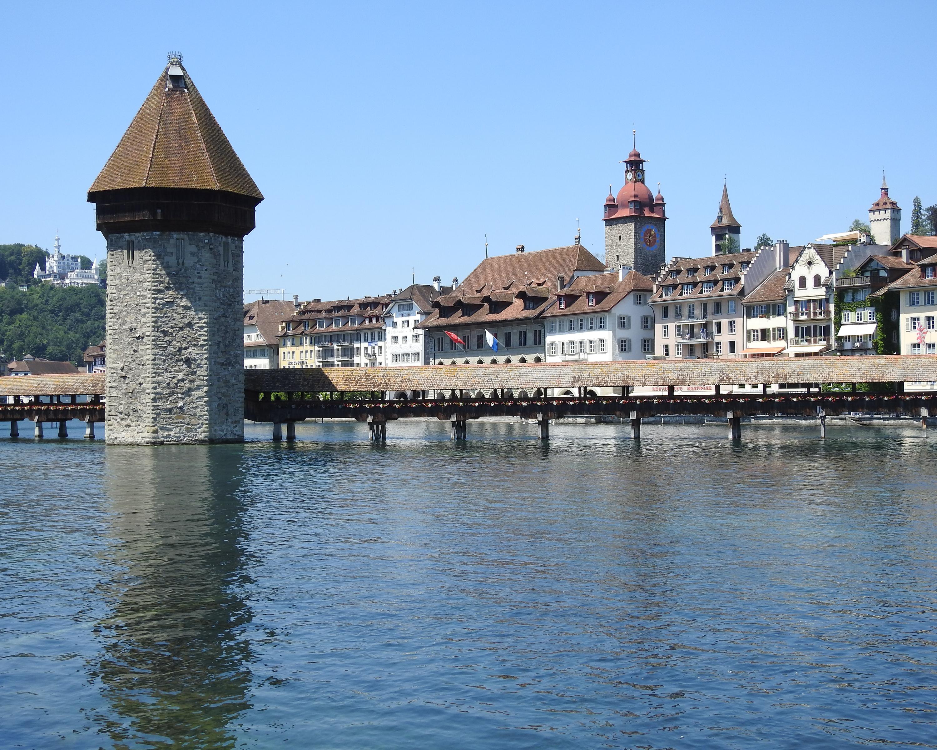
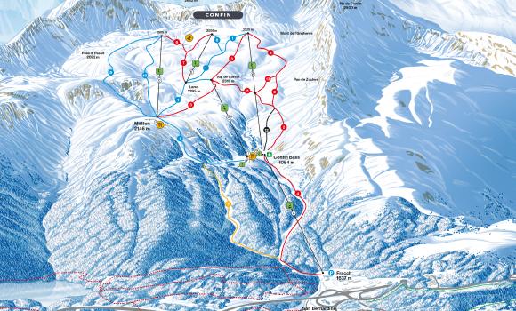
Regional route No. 38: Luzerner Hinterland–Rigi
Stages
1. Pfaffnau – Willisau
2. Willisau – Luzern
3. Luzern – Brunnen
Over rolling fields to Willisau, along tiny, idyllic peat ponds to the tourist attractions of Luzern. On via Küssnacht am Rigi to Brunnen, sometimes on panoramic paths high above the lake, sometimes taking bend after bend around the lake.
Comments on this information?
We welcome your feedback!
Presented by
Route
Height profile
Weather:
More...
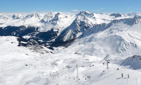
Further recommendations
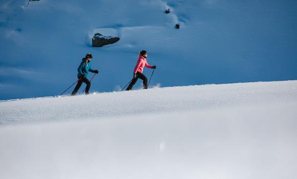
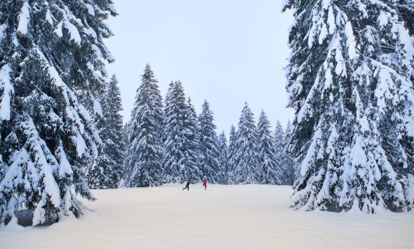
Snowshoeing
Snowshoes, moon and fondue
Hike
Grenzpfad Napfbergland
Winter hiking
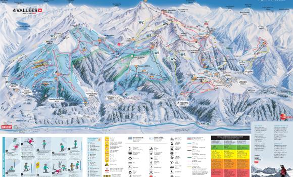
Veysonnaz - 4 Vallées
Cross country
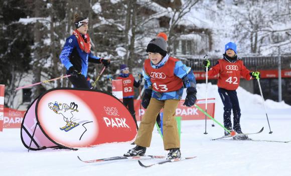
Technique training in Davos Nordic Park
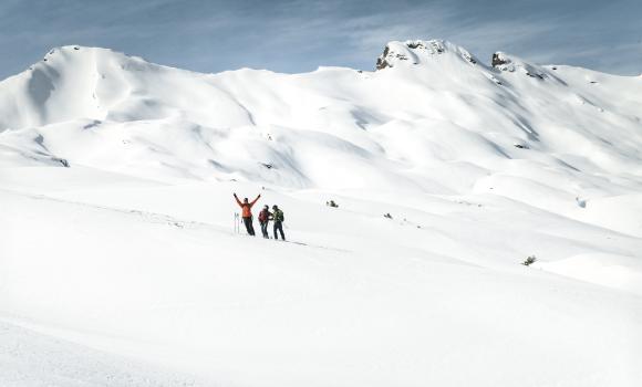
Winter hiking
San Bernardino
Snowshoeing
Snow-shoe hike with a view
Hike
Vier-Quellen-Weg, Stage 3/5
Skiing or snowboarding
Guided adventure in a freeride paradise
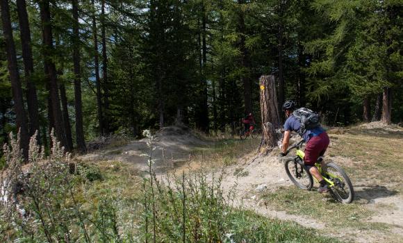
Mountain bike
Jura Bike, Stage 3/9
Mountain bike
Giw Enduro
Cross country
Cross-country paradise in the Franches Montagnes
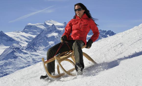
Sledging
La Tzoumaz Toboggan Run
Winter hiking
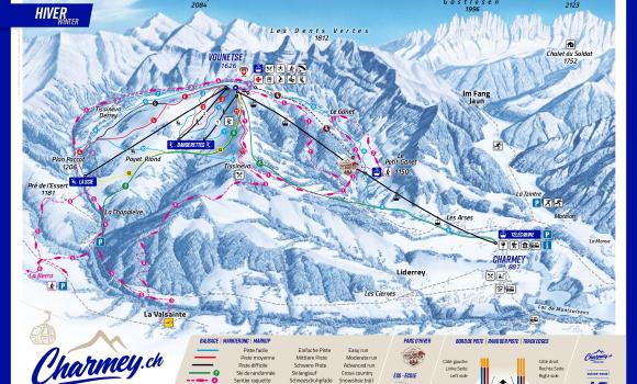
Charmey.ch
Skiing or snowboarding
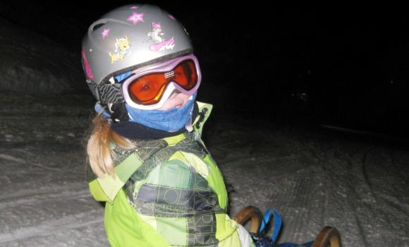
Ski slopes by day – toboggan run by night
Sledging
Toboggan adventure at any age
Sledging
Tobogganing water-channel country
Mountain bike
Hörnli Bike, Stage 1/3
Cross country
La Brévine - Bémont
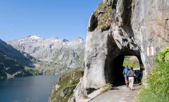
Hike
ViaSpluga
Skiing or snowboarding
Hörnli Piste
Comments about this activity or place?
Incorrect information
Missing information
Another topic
Thank you for your feedback!
Close


..Brunnen&freizeit=1&noweather=1&width=400&height=200&x_axis_display=distance&polyline=%7B_we%40wcbMs%5E%3FzIxk%40Us%7D%40v%5B%60t%40Yu%7D%40he%40xf%40cBm%7D%40e%5BxXaBs%7D%40eQxq%40%7DBa%7E%40qo%40pIk%40_%7E%40cBpu%40Q%7B%7C%40r%5Dvq%40zAo%7D%40%60Bpv%40g%40s%7D%40hc%40pOnEs%7D%40Bre%40Sg_A%7D%5Cvj%40%7DA%7B%7B%40wg%40xd%40N%7D%7D%40%7Bb%40fTO__Asc%40jl%40vA%7B%7B%40yk%40n%60%40h%40s%7D%40iu%40nOXa%7D%40q%7D%40pATo%7D%40cf%40wXJ_%7E%40it%40iXXy%7D%40qo%40tALw%7D%40%7Bz%40q%40Fa%7E%40wi%40hXAi%7C%40zFtw%40Oa%7E%40tDru%40U_%7E%40uj%40tg%40Ok%7D%40%7Ds%40%7EXHw%7C%40%7D%7D%40qESu%7E%40gn%40rX_Aq%7C%40kf%40%7C%60%40%5Co%7D%40wr%40ja%40%7D%40e%7E%40e%5B%7Cm%40%5Cg%7D%40kv%40qK%3Fk%7D%40aKjZIs%7D%40ko%40dYWi%7D%40gr%40wDCs%7E%40%7Bo%40lGi%40_%7D%40_u%40tWCg%7D%40_m%40tg%40Cm_Am%5Bbj%40a%40c%7C%40ch%40pk%40%7DAi%7D%40ks%40zXj%40y%7D%40%7De%40h_%40s%40k%7E%40%7Bh%40%7Ce%40Gq%7C%40g%5BkUfAy%7D%40%7Dt%40cY%60%40a%7E%40qe%40of%40tAi%7D%40ah%40oIlAu%7C%40qm%40tF%60%40y%7E%40uo%40wZj%40o%7C%40ue%40lm%40Nm%7D%40ck%40cOGe%7E%40eZct%40Xc%7D%40%7Br%40sX%60Ai%7E%40%7Dn%40uVfAa%7D%40wR%7Ef%40%5Ey%7D%40gSjh%40De%7E%40kIpy%40%40g%7C%40ue%40xPO%7B%7D%40ii%40d_%40Js%7D%40oe%40a%5CAm%7D%40s%7D%40_E%3Fa%7E%40a%7B%40dK%40w%7C%40c%5DjTsAy%7D%40oq%40_D_Cq_Aa%5Emb%40s%40o%7B%40et%40s%5EyA_%7E%40mw%40aBt%40m%7D%40_o%40mc%40Aa%7D%40sa%40_p%40eAy%7E%40ei%40%7D%60%40%60%40y%7C%40ul%40%7DTvBk%7D%40yv%40%7BO%60D%7B%7E%40g%5BnOv%40u%7C%40q%40%7Eo%40cAa_AzS%7Cx%40%5Ce%7D%40fVtu%40Jo%7C%40tGdq%40iBq%7D%40Ott%40o%40q%7D%40lLlv%40fB%7D%7C%40u%5E%7ETfAa%7E%40%7Dt%40dA%40e%7D%40uo%40ld%40%40e%7E%40mt%40bGEy%7C%40gg%40pc%40%40s%7D%40go%40rb%40Bu%7D%40eOzz%40Wy%7D%40n%5Cli%40Ug%7D%40c%40ja%40%5Do%7D%40yv%40vHR_%7E%40gt%40%7EBp%40q%7E%40_%7C%40kH%40w%7C%40mq%40%7EOB%7B%7C%40qv%40%7COWe%7E%40s%7C%40wIEg%7E%40_r%40aZQm%7C%40mn%40cb%40Zw%7D%40uw%40gSRc%7E%40qz%40pJEs%7D%40%7Do%40fd%40Do%7C%40)