DE
FR
IT
EN
Directory
Weather
Map / Route
Timetable
Leisure
TV guide
Cinema
Web search
Apps
More
Personal Data »
Login:
Register
Password forgotten
or
Log in with local.ch
Log in with Apple
Log in with Facebook
Log in with Google
Log in with LinkedIn
Please note that our new
privacy statement
as well as the revised
terms and conditions of use
apply.
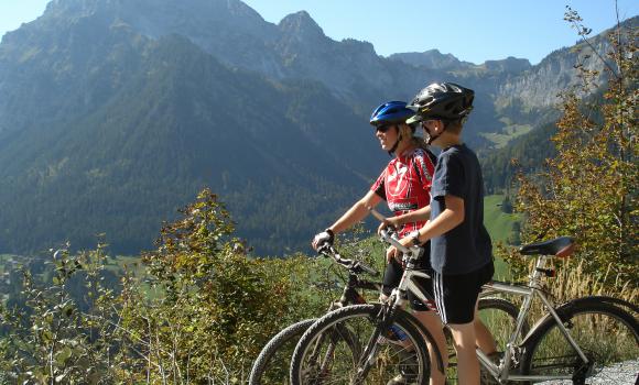
Leisure
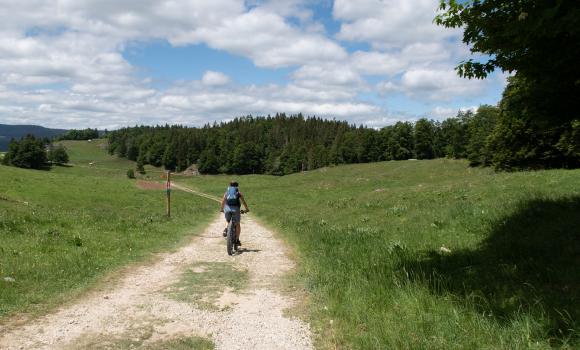
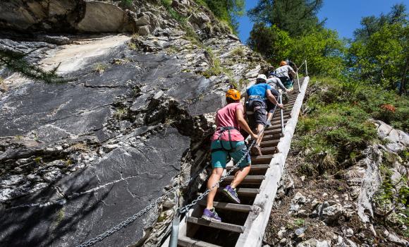
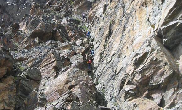
Hike in Stansstad
ViaSbrinz
Regional route No. 40, Stansstad – Ponte (I)
Description
Regional route
No. 40 (Stansstad – Ponte (I))
Length
115 km
Ascent • Descent
↑ 6300 m • ↓ 5400 m
Lowest point • Highest point
434 m • 2503 m
Grade
medium
Fitness level
difficult
Regional route No. 40: ViaSbrinz
Stages
1. Stansstad – Engelberg
2. Engelberg – Engstlenalp
3. Engstlenalp – Guttannen
4. Guttannen – Obergesteln
5. Obergesteln – Ponte (I)
In the late Middle Ages, the «Sbrinz» hard cheese became a top Inner Switzerland export at the markets of Northern Italy. Not least because the mule track over the Grimsel and Gries Passes became a well- developed trade route.
Comments on this information?
We welcome your feedback!
Presented by
Route
Height profile
Weather:
More...
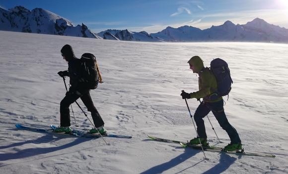
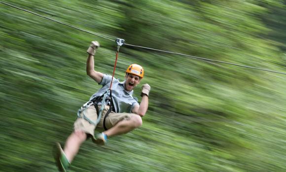
Further recommendations
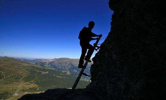
Climb
Eiger-Rotstock - via ferrata with a feel of the North Face
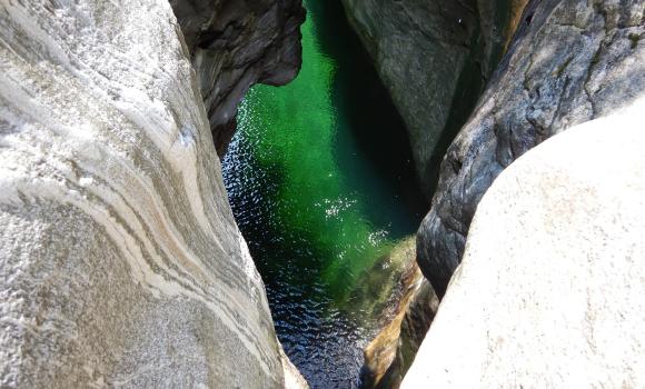
Canyoning
Highlight in the Maggia Valley: Giumaglio Canyon
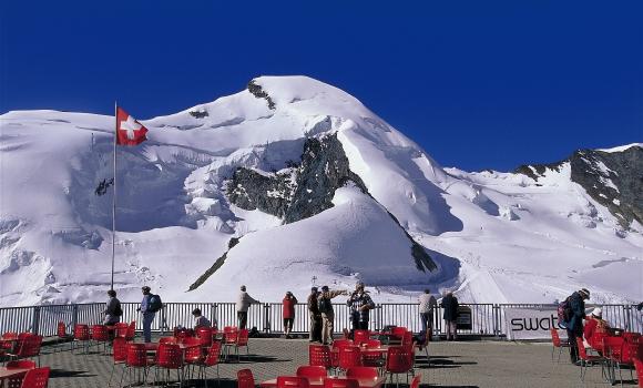
Alpine hike
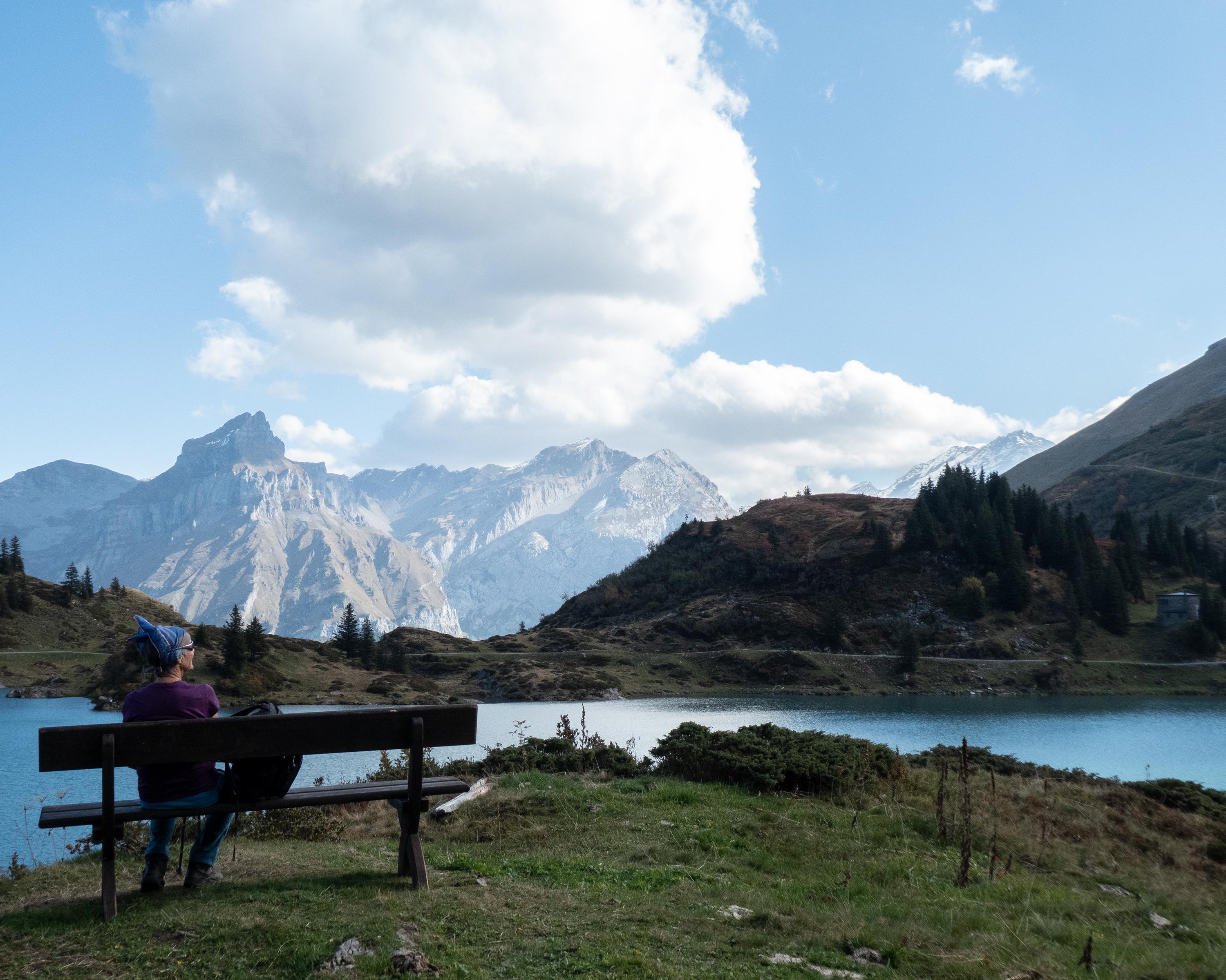
A 4,000m summit for all - Allalinhorn
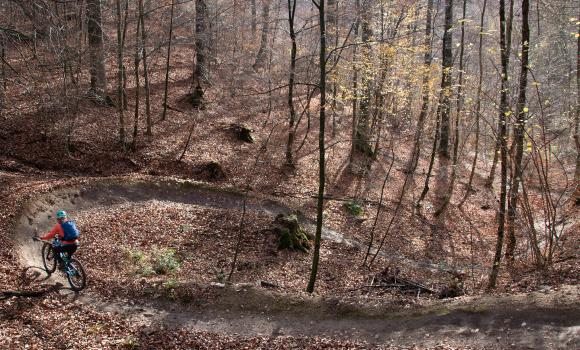
Mountain bike
Dent de Vaulion Bike
Alpine hike
Your first 4,000-m peak
Alpine hike
Hiking through the snow by torchlight
Climb
Mountain tours, climbing
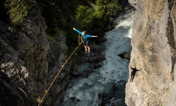
Climb
Via Ferrata in the Mauvoisin Gorge
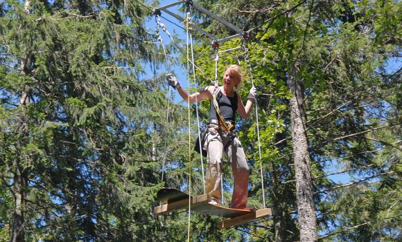
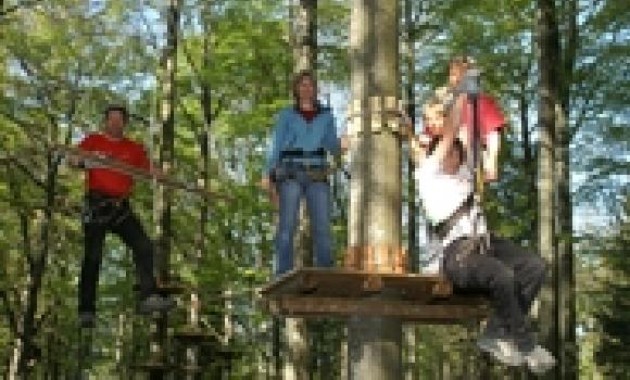
Rope park
Adventure Park Rehärti, Adelboden
Via ferrata
Jägihorn via ferrata - the sensation of the peaks, facing the giant mountains
Rope park
Fun and adventure in Balmberg
Mountain bike
Grimmialp Bike
Mountain bike
Bike Trail Arlesheim
Canyoning
Grindelwald Glacial Gorge
Canyoning
Playful Val Corippo
Rope park
Courage and agility in the Rope Park
Comments about this activity or place?
Incorrect information
Missing information
Another topic
Thank you for your feedback!
Close

&freizeit=1&noweather=1&width=400&height=200&x_axis_display=distance&polyline=%7Bfxg%40qxlKeZ%3FkJxx%40%3FcgAsX%60d%40G_dAeT%7Cq%40Y%7DeAocAvEG%7BeAqy%40z%5C%40weAol%40rk%40Q%7BdAy%5Dtz%40WueAsBji%40QoeAsYr%7C%40%5DmfAnFp%7B%40GqdAcAx%7B%40OogA%7CWbx%40S_dAnb%40p%7C%40WifAd%5B%7Cr%40a%40odAbUb%7D%40QseAtAh%7D%40e%40afAoBl%7E%40k%40eeA%7CCl%7B%40cBeeAcE%7Ex%40eA_fAoNvw%40cEseAwe%40fj%40yFaeAqi%40lh%40eD%7DeAcw%40cGQqeAdj%40fPEseAhv%40xHwIceAnd%40pk%40mFqeAzI%7Ei%40qNqeAe%5Ev%5EgIoeAmq%40pa%40mCueAuUrn%40uIseA%7EVri%40yN%7DeAtv%40zQdFieApw%40hGvImeAnaAa%40fBueAvy%40nLbFgeAnr%40d%60%40hGseAf%5Bpu%40tFafAv%60%40bh%40zF_eAzs%40rj%40xCafA%60t%40%60n%40tAofAdo%40zn%40x%40qdAte%40rw%40b%40ieAdr%40rh%40XqeA%60l%40zo%40fIyeAh%60%40ze%40rOceAxy%40vIvCqeAdHvm%40%60BmfAek%40%60q%40wBehA%7DEju%40aAcbAaa%40%7Ee%40k%40seAga%40fr%40oDkfAku%40%60%5DeAceAyl%40fZyBgeAwl%40%60%5CcFkeAam%40tm%40y%40afAwa%40jr%40mCgeA%7D%40haAw%40oeASbz%40oAmgAgIpv%40wCscAkD%7Ek%40qFoeAcKj%7B%40w%40ueAqq%40jd%40aGweAy%40do%40%7DDkeAmOzh%40aFyeAuc%40fh%40OgeAq%5Ddj%40cAqeA_Ij%5CsDqeAb%5Cz%5ByEmeAcLdc%40yHifAuYni%40q%40%7BdAba%40vs%40hAseAfPrp%40%7CFueAbDxk%40bJmeAqEx%5CvI%7DeA%7C%5Blo%40%7CKceAqFzn%40tFyeAbU%60n%40HmeAgE%7Er%40aCkeAao%40pIyGseAgz%40vIuDweAgi%40po%40sAqeAon%40rp%40aD_fAka%40%60p%40uHceAdEzo%40%7BAkeAo%5DjU%7DOoeAuDlQoJmfA_K%7C_%40qA%7BdA%7CVrt%40RkeAvQ%7E%60%40jNqfAue%40rk%40pE_eAa%5D%60%5BjIgfAwg%40%7Cf%40xEodAwr%40xXv%40gfAys%40tL%7EBsfAcJfs%40GedAlKjo%40xByeAmLjf%40xH%7BdAgTts%40jCoeAkIdaAfEqgAiRhz%40xBqcA)