DE
FR
IT
EN
Directory
Weather
Map / Route
Timetable
Leisure
TV guide
Cinema
Web search
Apps
More
Personal Data »
Login:
Register
Password forgotten
or
Log in with local.ch
Log in with Apple
Log in with Facebook
Log in with Google
Log in with LinkedIn
Please note that our new
privacy statement
as well as the revised
terms and conditions of use
apply.
Leisure
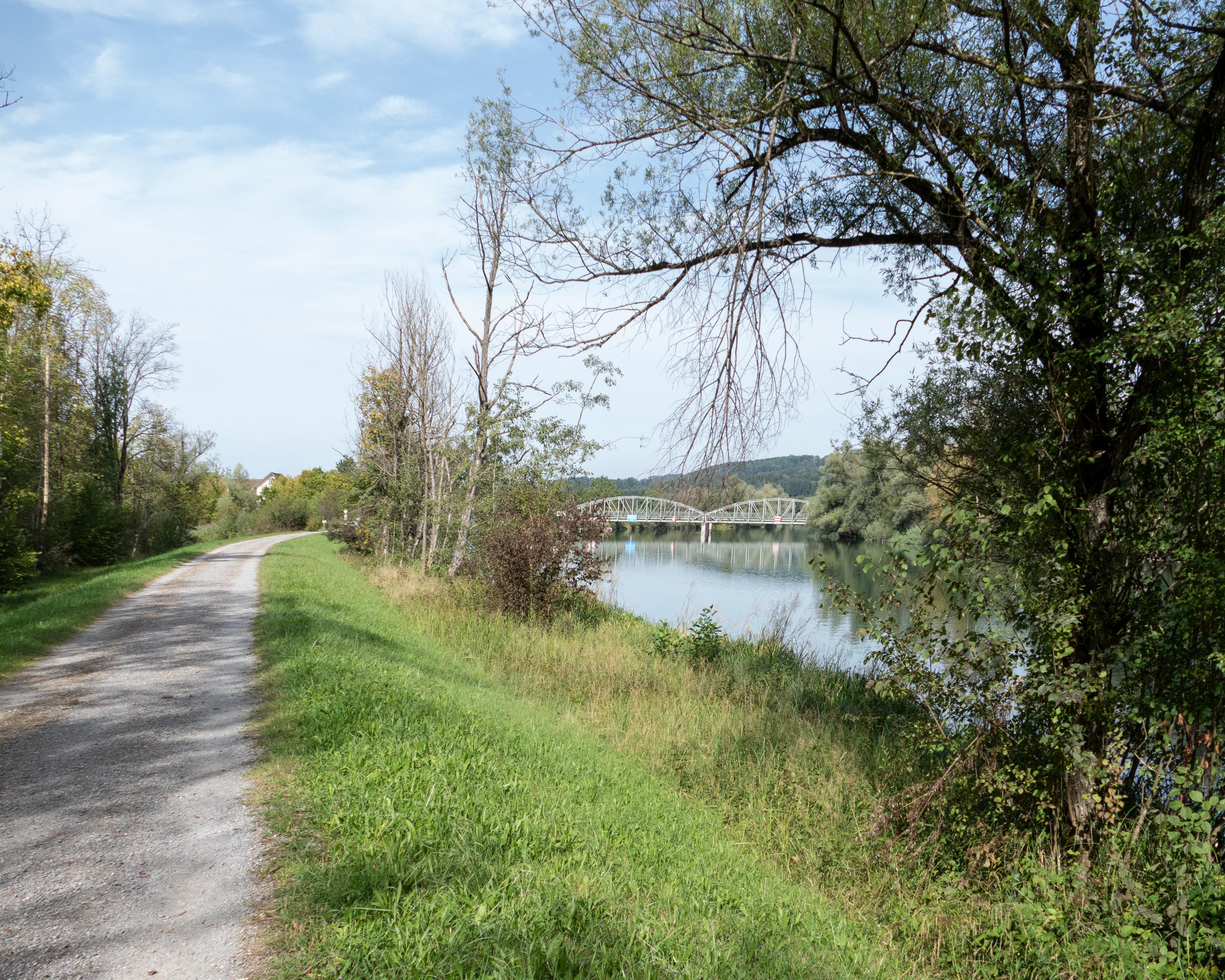
Hike in Ottenbach
Reuss-Uferweg
Accessible route No. 526, Stage 6: Ottenbach – Rottenschwil
Description
Accessible route
No. 526
Length
6 km
Ascent • Descent
↑ 10 m • ↓ 40 m
Lowest point • Highest point
381 m • 416 m
Hiking time
1 h 25 min
Grade
easy
Fitness level
easy
The path along the embankment begins at Ottenbach, on the border between the cantons of Aargau and Zürich. This elevated path runs alongside the River Reuss to Rottenschwil and reveals magnificent views of a beautiful natural environment.
Booking Information
E-mail:
[email protected]
Comments on this information?
We welcome your feedback!
Presented by
Route
Height profile
Weather:
More...
Procap
Frohburgstrasse 4, 4600 Olten
Further recommendations
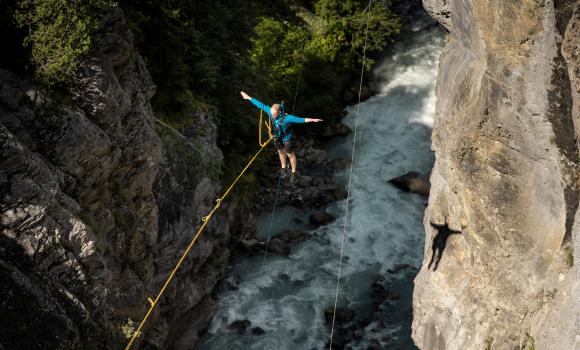
Canyoning
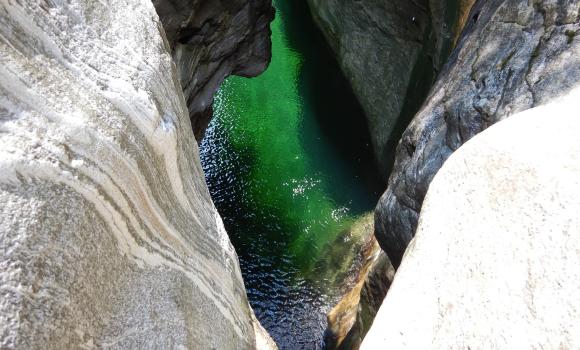
Grindelwald Glacial Gorge
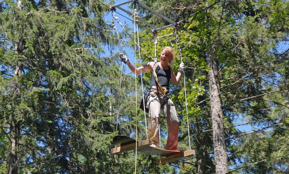
Rope park
Fun and adventure in Balmberg
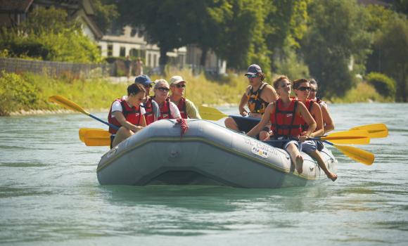
Canyoning
Aare rafting & canoeing (Aareböötle)
Climb
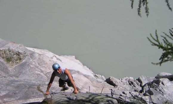
Aletsch - Via ferrata on the biggest Alpine glacier
Canyoning
Highlight in the Maggia Valley: Giumaglio Canyon
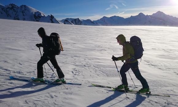
Alpine hike
Hiking through the snow by torchlight
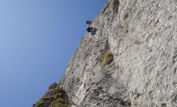
Via ferrata
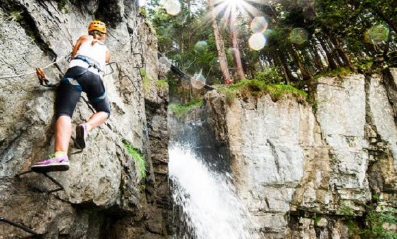
Tière Via Ferrata with a local mountain guide
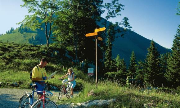
Mountain bike
Gantrisch biking
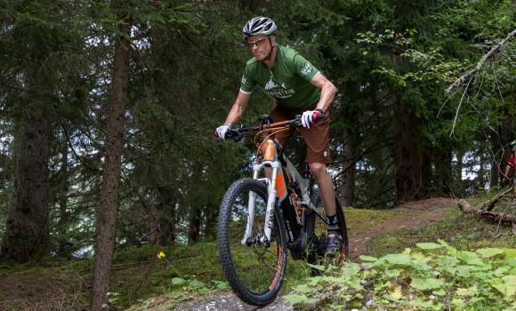
Mountain bike
E-mountain biking in Surselva
Mountain bike
Monte Lema
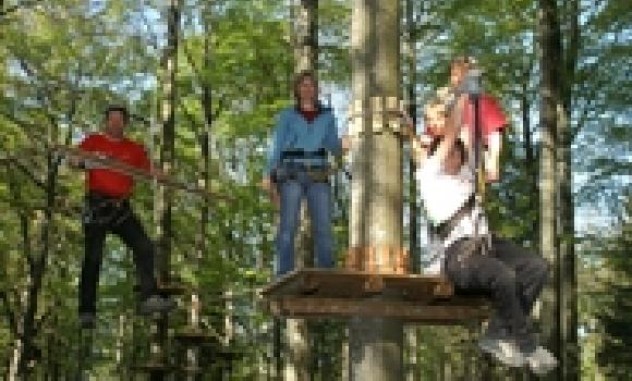
Rope park
Courage and agility in the Rope Park
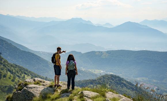
Alpine hike
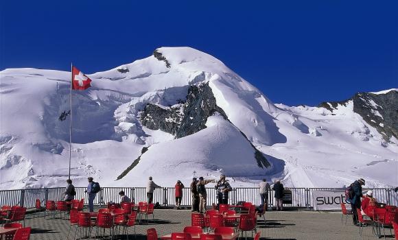
A 4,000m summit for all - Allalinhorn
Climb
Via ferrata Gantrisch
Alpine hike
Your first 4,000-m peak
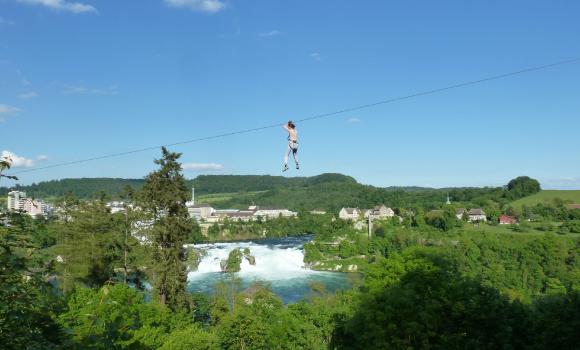
Rope park
Adventure Park at the Rhine Falls
Climb
Eiger-Rotstock - via ferrata with a feel of the North Face
Procap
Frohburgstrasse 4, 4600 Olten
062 206 88 30
Comments about this activity or place?
Incorrect information
Missing information
Another topic
Thank you for your feedback!
Close