DE
FR
IT
EN
Directory
Weather
Map / Route
Timetable
Leisure
TV guide
Cinema
Web search
Apps
More
Personal Data »
Login:
Register
Password forgotten
or
Log in with local.ch
Log in with Apple
Log in with Facebook
Log in with Google
Log in with LinkedIn
Please note that our new
privacy statement
as well as the revised
terms and conditions of use
apply.
Leisure
Activities in Ticino
ViaSuworow
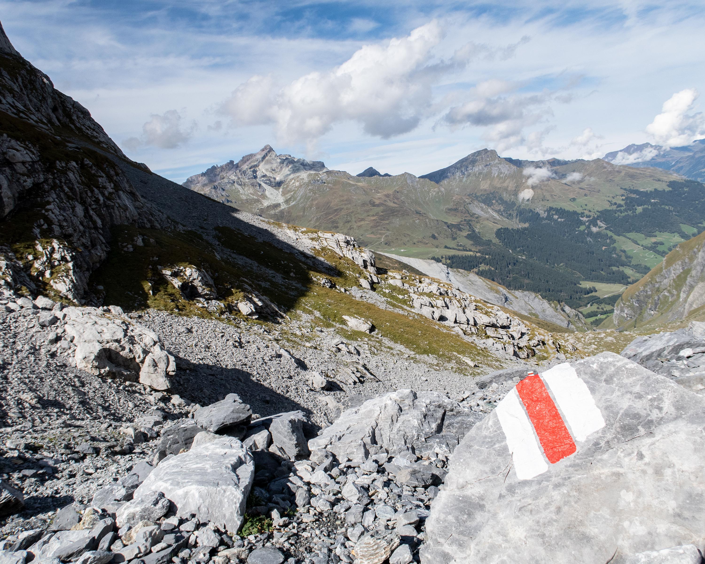
Regional route No. 55, Airolo – Ilanz
Description
Regional route
No. 55 (Airolo – Ilanz)
Length
170 km
Ascent • Descent
↑ 7600 m • ↓ 8100 m
Lowest point • Highest point
448 m • 2408 m
Grade
medium
Fitness level
difficult
Regional route No. 55: ViaSuworow
Stages
1. Airolo – Gotthardpass
2. Gotthardpass – Andermatt
3. Andermatt – Wassen
4. Wassen – Altdorf
5. Altdorf – Biel-Chinzig
6. Biel-Chinzig – Muotathal
7. Muotathal – Hinter Klöntal
8. Hinter Klöntal – Glarus
9. Glarus – Elm
10. Elm – Pigniu
11. Pigniu – Ilanz
In autumn 1799, Russian General Suvorov and his army crossed through the Swiss Alps in order to oust the French from the country. The ViaSuworow follows the route of this campaign through breathtaking mountain landscape.
Comments on this information?
We welcome your feedback!
Presented by
Route
Height profile
Weather:
More...
Further recommendations
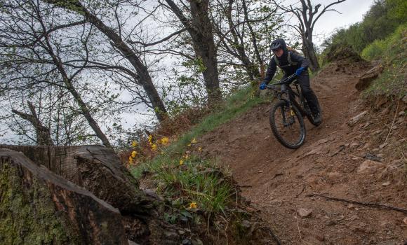
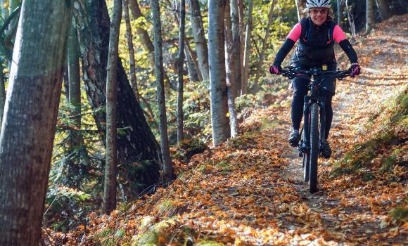
Mountain bike
Monte Tamaro Bike
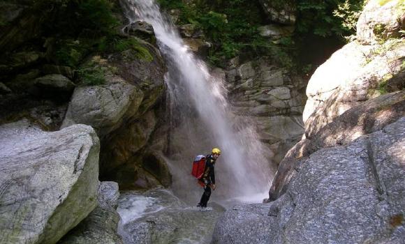
Canyoning
Canyoning in the Malvaglia Valley
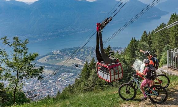
Mountain bike
Cardada Bike
Mountain bike
Brüsacü Bike
Canyoning
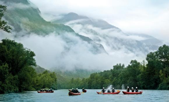
Canoeing on the Ticino
Canyoning
Centovalli – Classic Ticino canyoning
Comments about this activity or place?
Incorrect information
Missing information
Another topic
Thank you for your feedback!
Close