search.ch

Blauburgunderland Panoramaweg

Local route No. 899, Stage 9: Siblingerhöhe – Trasadingen
  • Image 1

Description

Local route
No. 899
Length
14 km
Ascent • Descent
↑ 220 m • ↓ 380 m
Lowest point • Highest point
403 m • 619 m
Hiking time
3 h 30 min
Grade
easy
Fitness level
medium
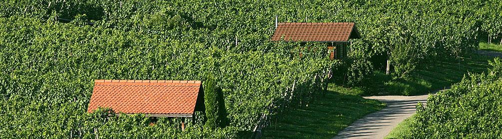
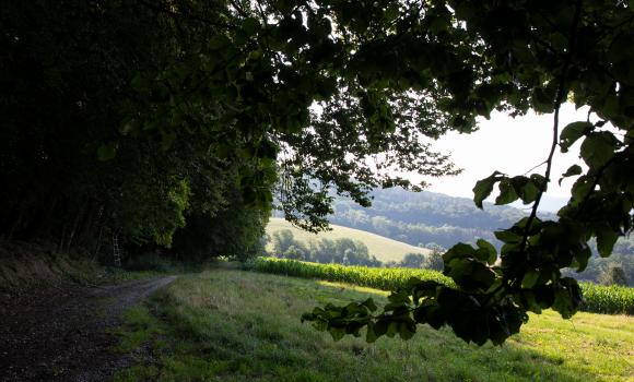
The hiking trail up in the heights that leads through the heart of Schaffhausen's Blauburgunderland. The route goes along a mountain ridge that extends to the southeast. The focus of this route is the Mediterranean-like views of the vineyards of Blauburgunderland.

Booking Information

Height profile

Weather:

Schaffhauserland Tourismus

Comments about this activity or place?

Thank you for your feedback!