DE
FR
IT
EN
Directory
Weather
Map / Route
Timetable
Leisure
TV guide
Cinema
Web search
Apps
More
Personal Data »
Login:
Register
Password forgotten
or
Log in with local.ch
Log in with Apple
Log in with Facebook
Log in with Google
Log in with LinkedIn
Please note that our new
privacy statement
as well as the revised
terms and conditions of use
apply.
Leisure
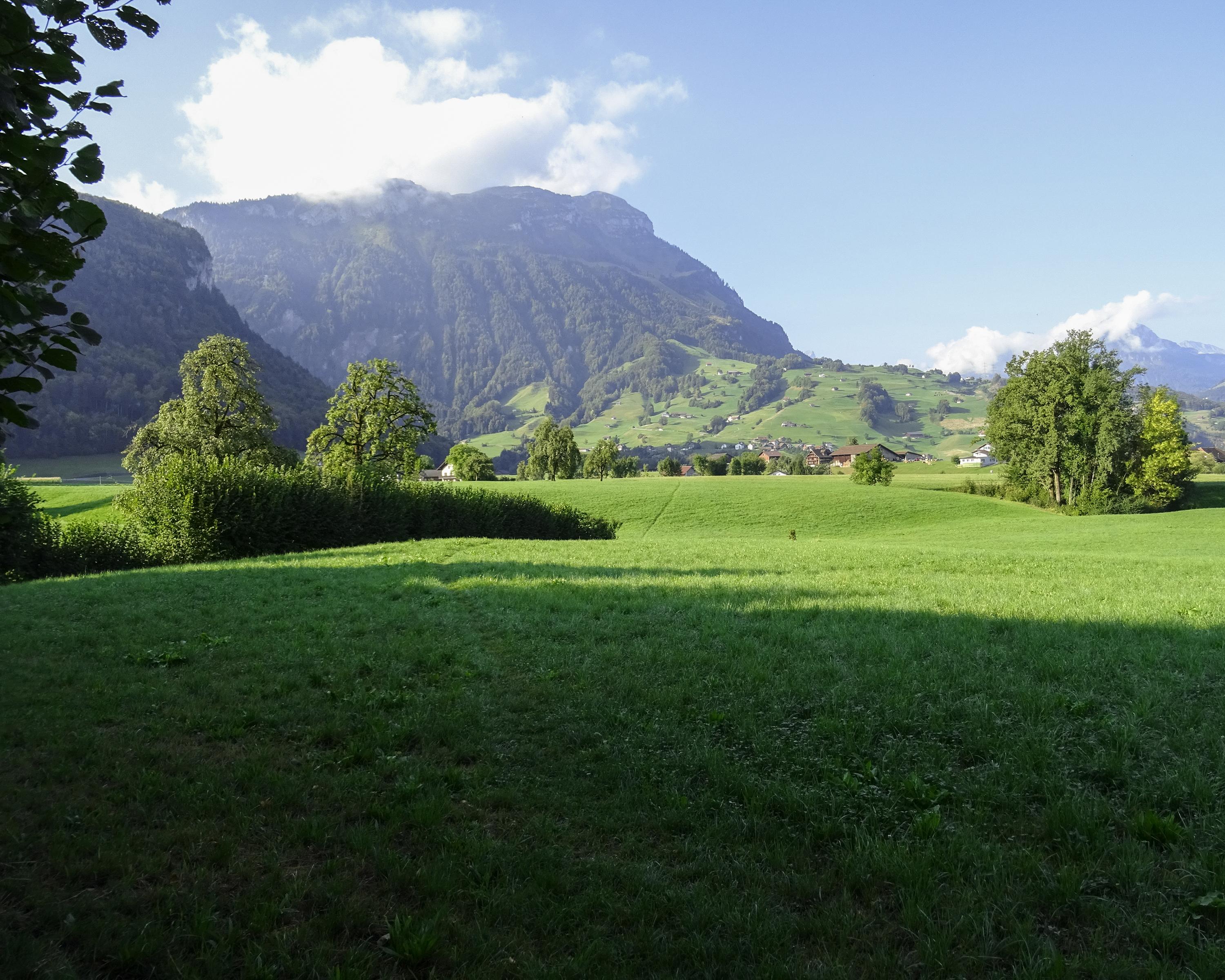
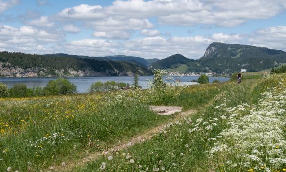
Hike in Region Schwyz
Pragelpass-Weg, Stage 1/3
Regional route No. 29, Stage 1: Schwyz – Muotathal
Description
Regional route
No. 29 (Schwyz – Glarus)
Length
14 km
Ascent • Descent
↑ 320 m • ↓ 220 m
Lowest point • Highest point
453 m • 612 m
Hiking time
3 h 30 min
Grade
easy
Fitness level
medium
Regional route No. 29:
Pragelpass-Weg
Stages
1. Schwyz – Muotathal
2. Muotathal – Hinter Klöntal
3. Hinter Klöntal – Glarus
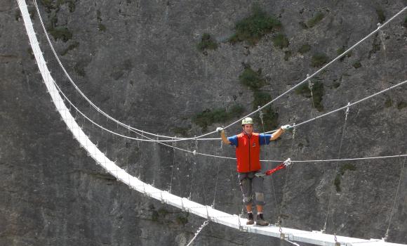
Sweeping views to the water meadows of Schwyz narrow at the bridge where Suworow and his army were stopped in late autumn 1799. A tranquil stroll in a famous and history-laden valley.
Comments on this information?
We welcome your feedback!
Presented by
Route
Height profile
Weather:
More...
Further recommendations
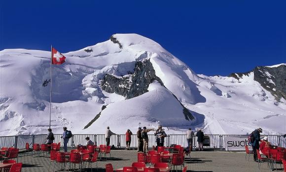
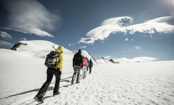
Alpine hike
A 4,000m summit for all - Allalinhorn
Alpine hike
Hiking through the snow by torchlight
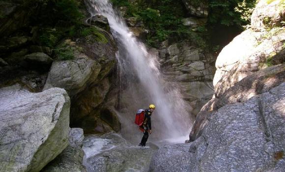
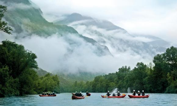
Canyoning
Canyoning in the Malvaglia Valley
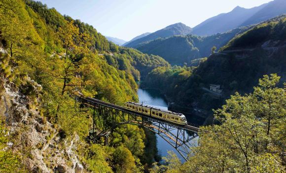
Mountain bike
Mont Tendre Bike
Climb
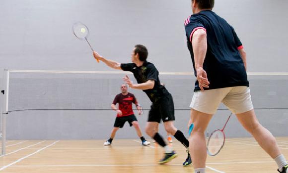
Climbing and badminton under one roof
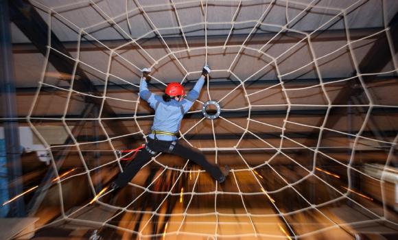
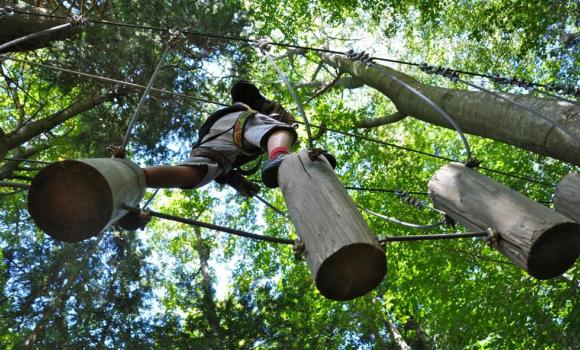
Rope park
Indoor Rope Adventure Park Grindelwald
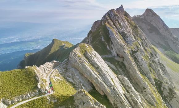
Alpine hike
Hiking on Mount Pilatus
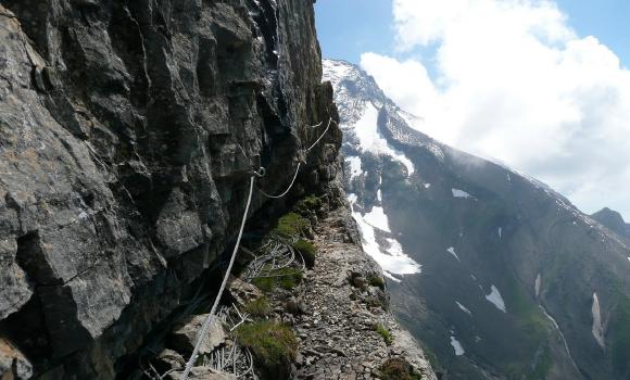
Via ferrata
Les Diablerets Via Ferrata
Rope park
Signal de Bougy Adventure Park
Via ferrata
Tête aux Chamois - Via ferrata
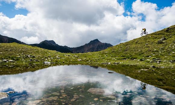
Mountain bike
Arosa Lenzerheide Rundtour
Mountain bike
Saastal Bike
Canyoning
Canoeing on the Ticino
Climb
Climbing the Breithorn
Canyoning
Centovalli – Classic Ticino canyoning
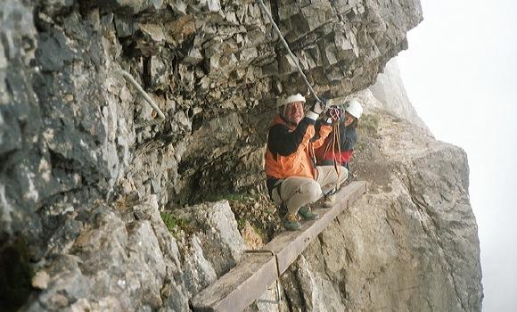
Climb
Via ferrata Mürren
Comments about this activity or place?
Incorrect information
Missing information
Another topic
Thank you for your feedback!
Close