DE
FR
IT
EN
Directory
Weather
Map / Route
Timetable
Leisure
TV guide
Cinema
Web search
Apps
More
Personal Data »
Login:
Register
Password forgotten
or
Log in with local.ch
Log in with Apple
Log in with Facebook
Log in with Google
Log in with LinkedIn
Please note that our new
privacy statement
as well as the revised
terms and conditions of use
apply.
Leisure
Biking in Lake Sarnen
Wichelseerundfahrt
Local route No. 703, Stage 3: Sarnen – Sarnen
Description
Local route
No. 703
Length
20 km
Ascent • Descent
↑ 140 m • ↓ 140 m
Lowest point • Highest point
436 m • 485 m
Fitness level
easy
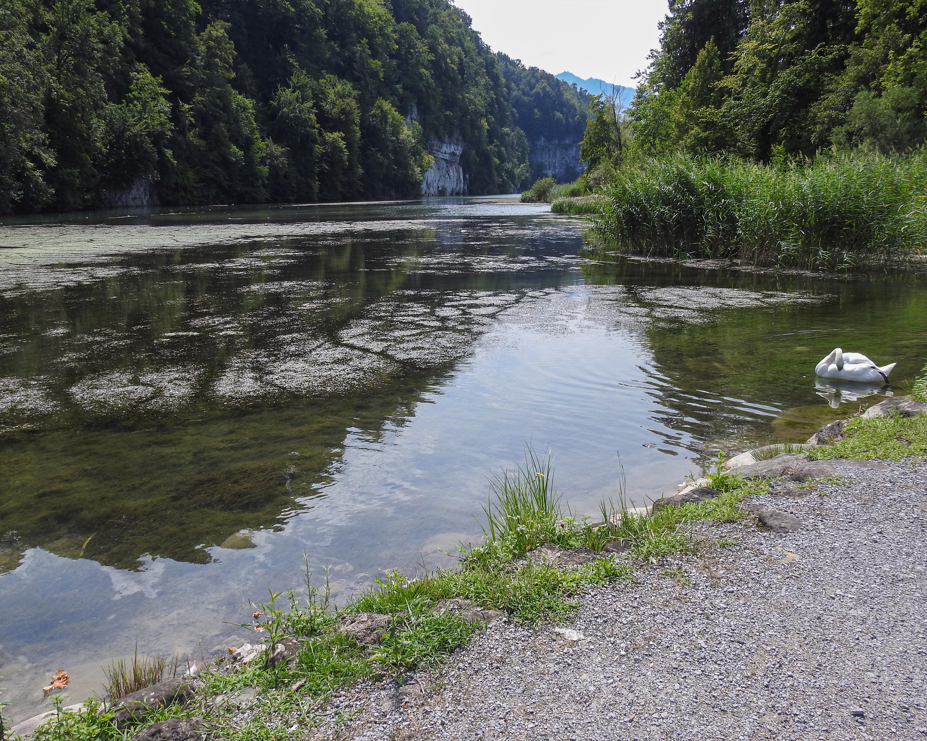
Lake Wichel is located in a popular recreational area with a beautiful landscape. In particular, the forest-trimmed cliffs behind the lake are a worthwhile photo subject.
Booking Information
E-mail:
[email protected]
Comments on this information?
We welcome your feedback!
Presented by
Route
Height profile
Weather:
More...
Obwalden Tourismus
Bahnhofplatz 1, 6060 Sarnen
Further recommendations
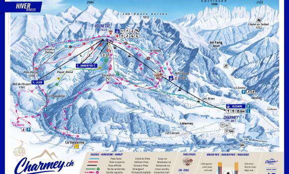
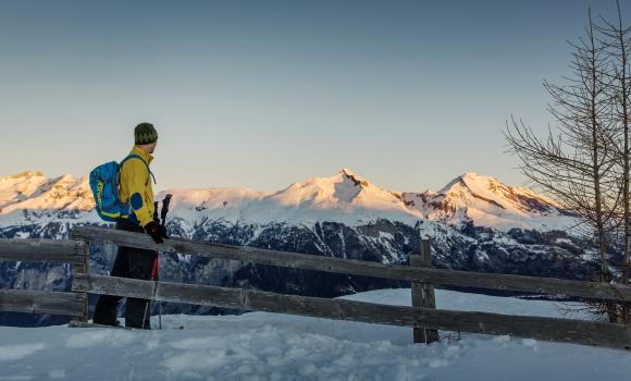
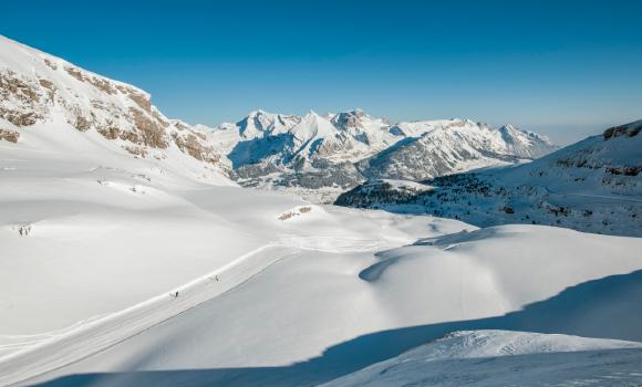
Winter hiking
Charmey.ch
Hike
Prättigauer Höhenweg
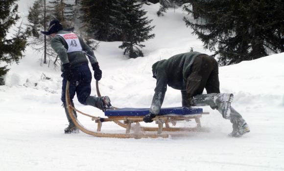
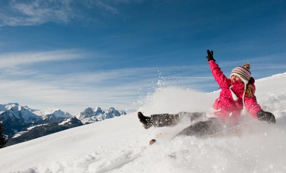
Sledging
Sun-packed descent via Rhonetal
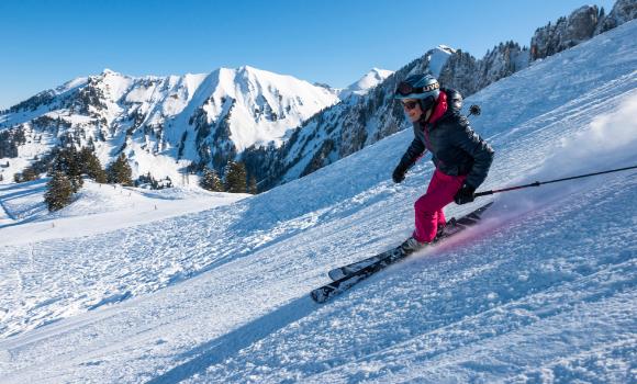
Skiing or snowboarding
Weissfluhgipfel-Davos Wolfgang
Snowshoeing
Dreibündenstein circular snowshoe tour
Mountain bike
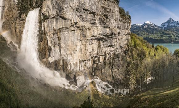
Seerenbach Falls and the Rin Spring
Hike
ViaJacobi, Stage 3/33
Skiing or snowboarding
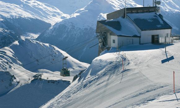
Skiing like an Olympic medal winner
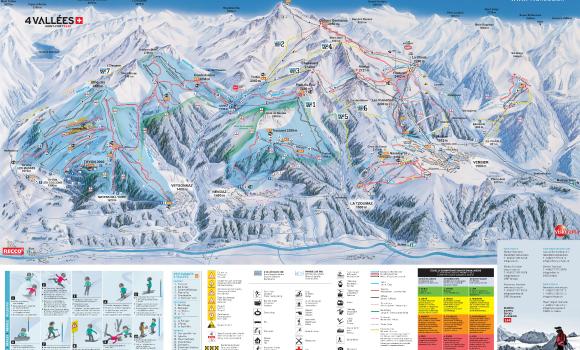
Winter hiking
Veysonnaz - 4 Vallées
Skiing or snowboarding
Ostabfahrt (eastern descent)
Sledging
Away from the hustle and bustle: Sparenmoos - Zweisimmen
Winter hiking
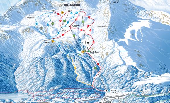
San Bernardino
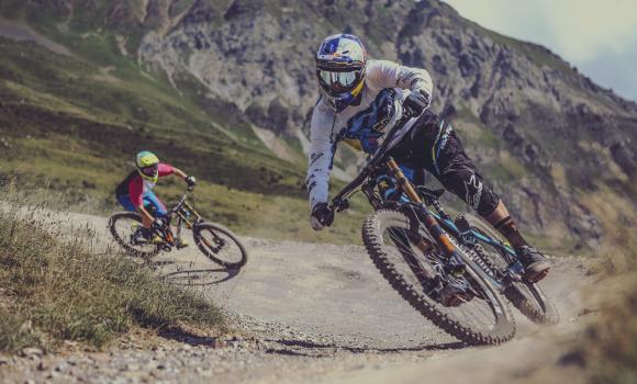
Mountain bike
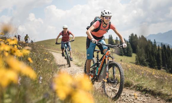
Bike Kingdom Park
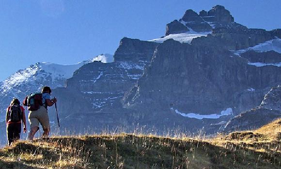
Hike
Via Alpina, Stage 17/20
Cross country
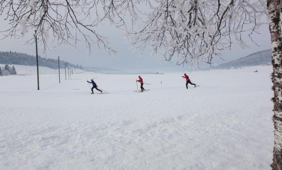
The spellbinding Vaud Jura plateau
Cross country
La Brévine - Bémont
Sledging
Dream descent
Mountain bike
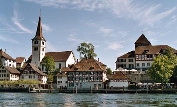
Untersee - Hochrhein
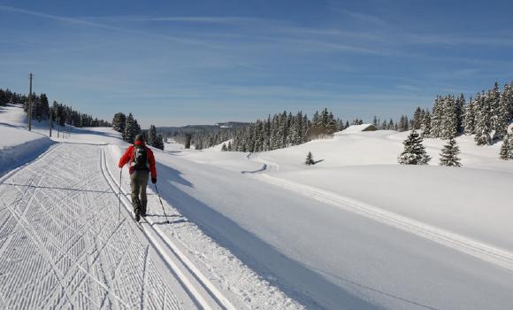
Cross country
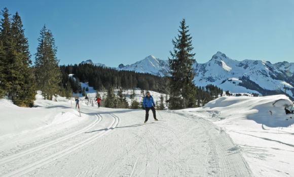
Nature park and cross-country paradise
Snowshoeing
Rellerli – the sunshine mountain
Obwalden Tourismus
Bahnhofplatz 1, 6060 Sarnen
041 666 50 40
Comments about this activity or place?
Incorrect information
Missing information
Another topic
Thank you for your feedback!
Close